Why Choose Us?
- Experienced Professionals: Our team consists of licensed drone pilots and experienced photographers who understand the art and science of aerial imaging.
- Cutting-Edge Technology: We invest in the latest drone technology and imaging equipment to provide you with the highest-quality results.
- Safety First: Safety is our top priority. We adhere to strict safety protocols and follow all regulations to ensure safe and responsible drone operations.
- Custom Solutions: Every project is unique. We work closely with you to tailor our services to your specific needs and vision.
Below you will see our current and past projects.
Real Estate
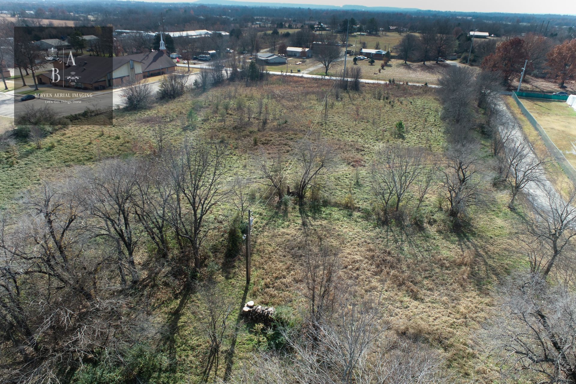
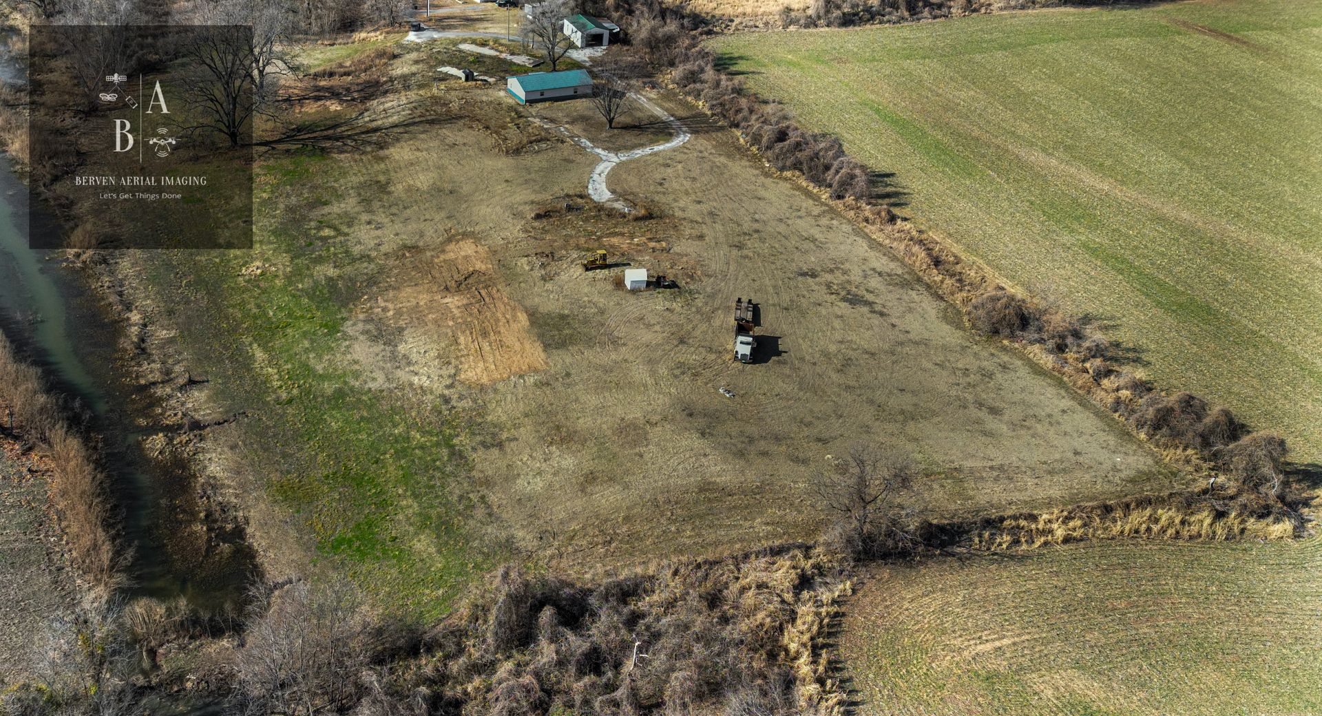
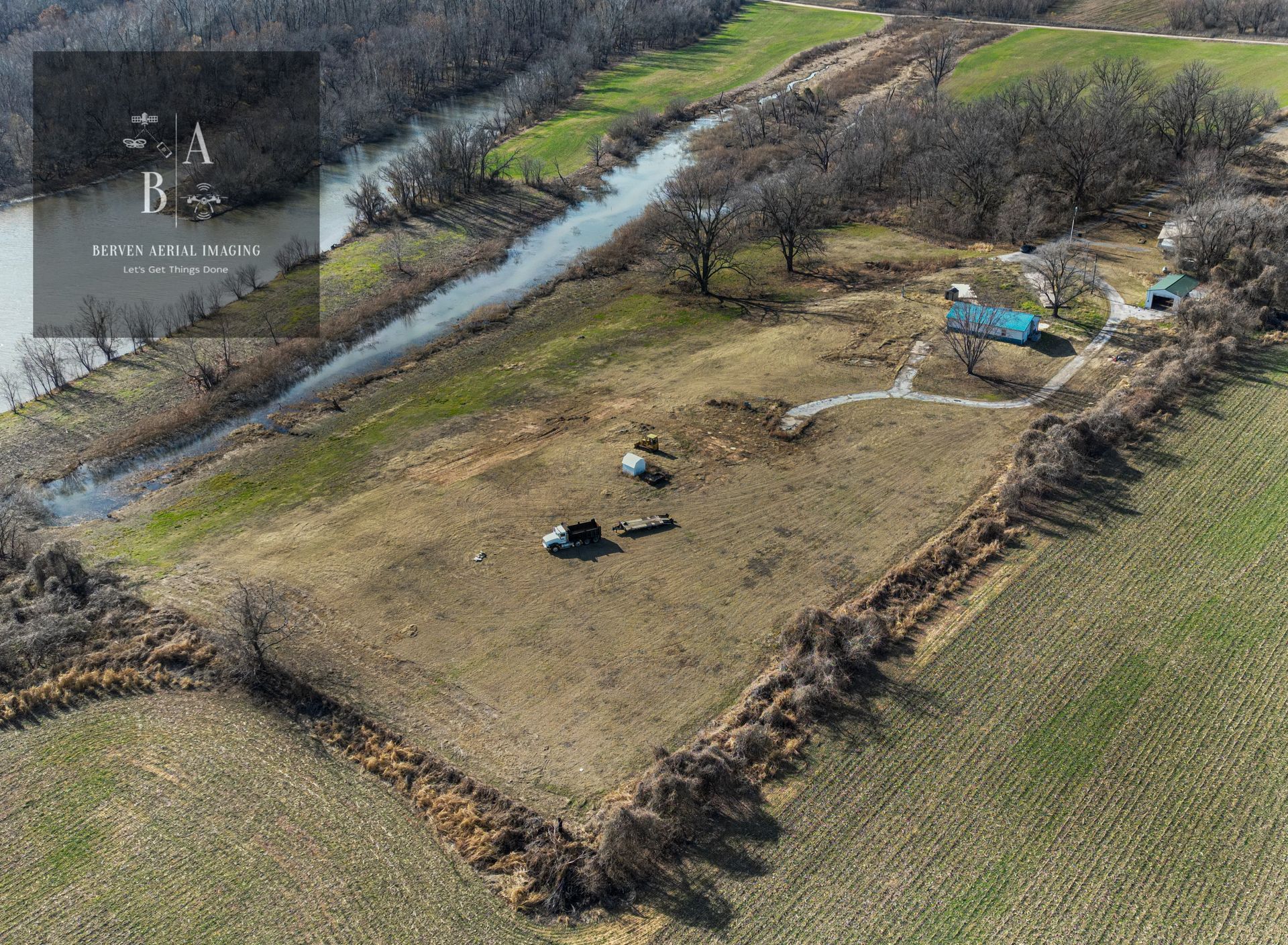
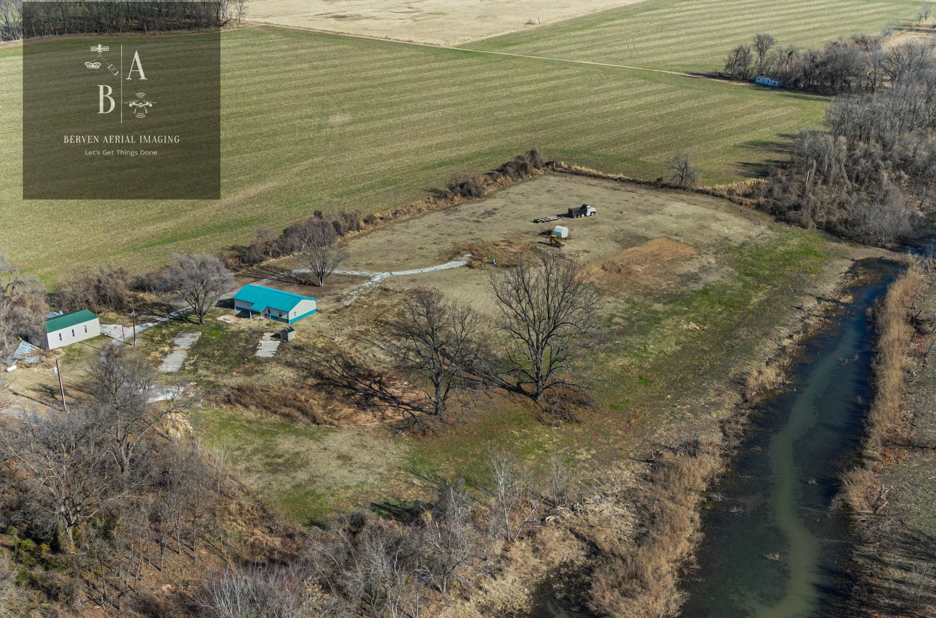
We understand that the world is changing, and needs are changing as well. We take on a variety of projects, in diverse sizes and for a wide variety of clients. For every project, we compose a team that is best suited for its needs and ensure that every question is answered, every possibility considered.
Short Video's
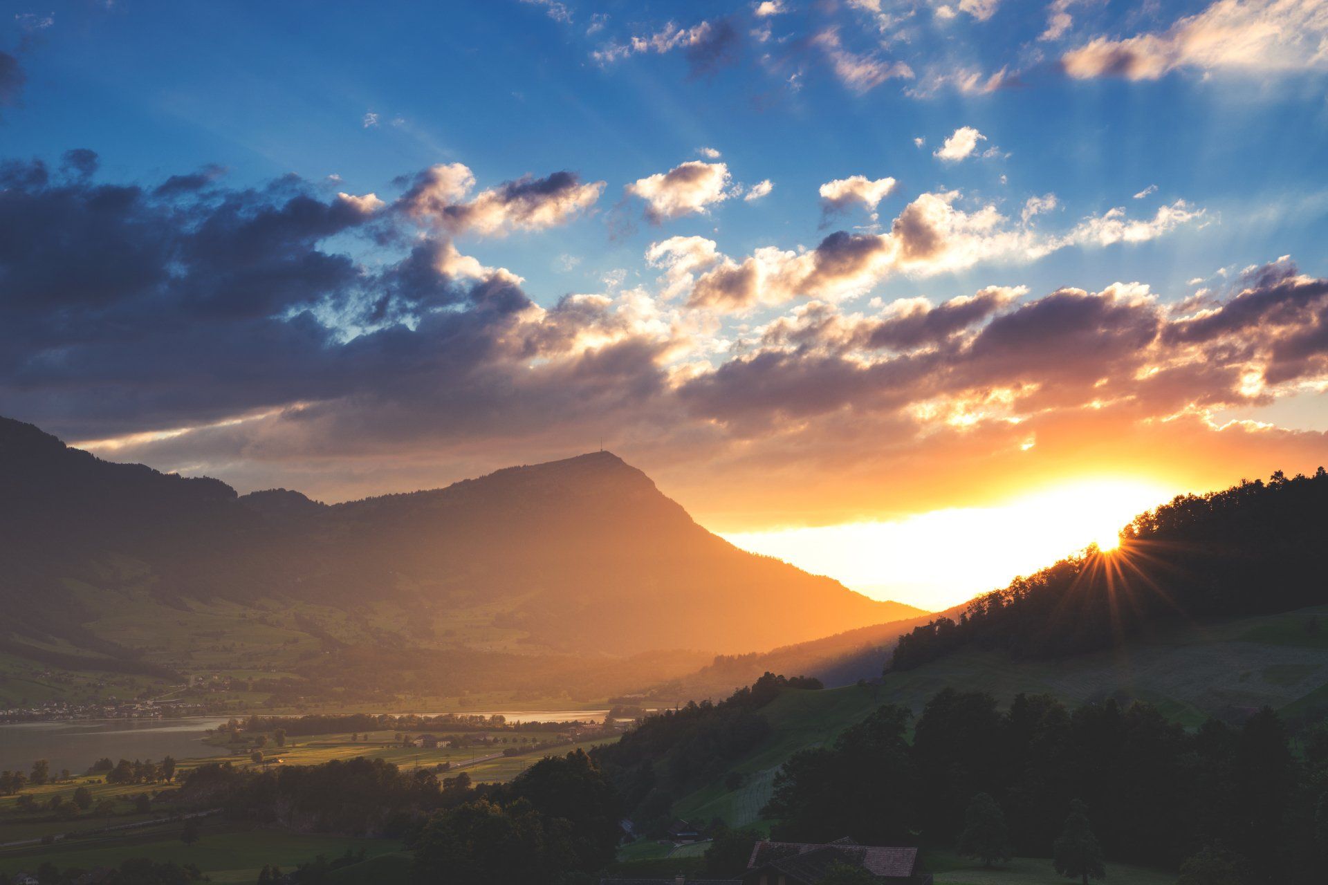
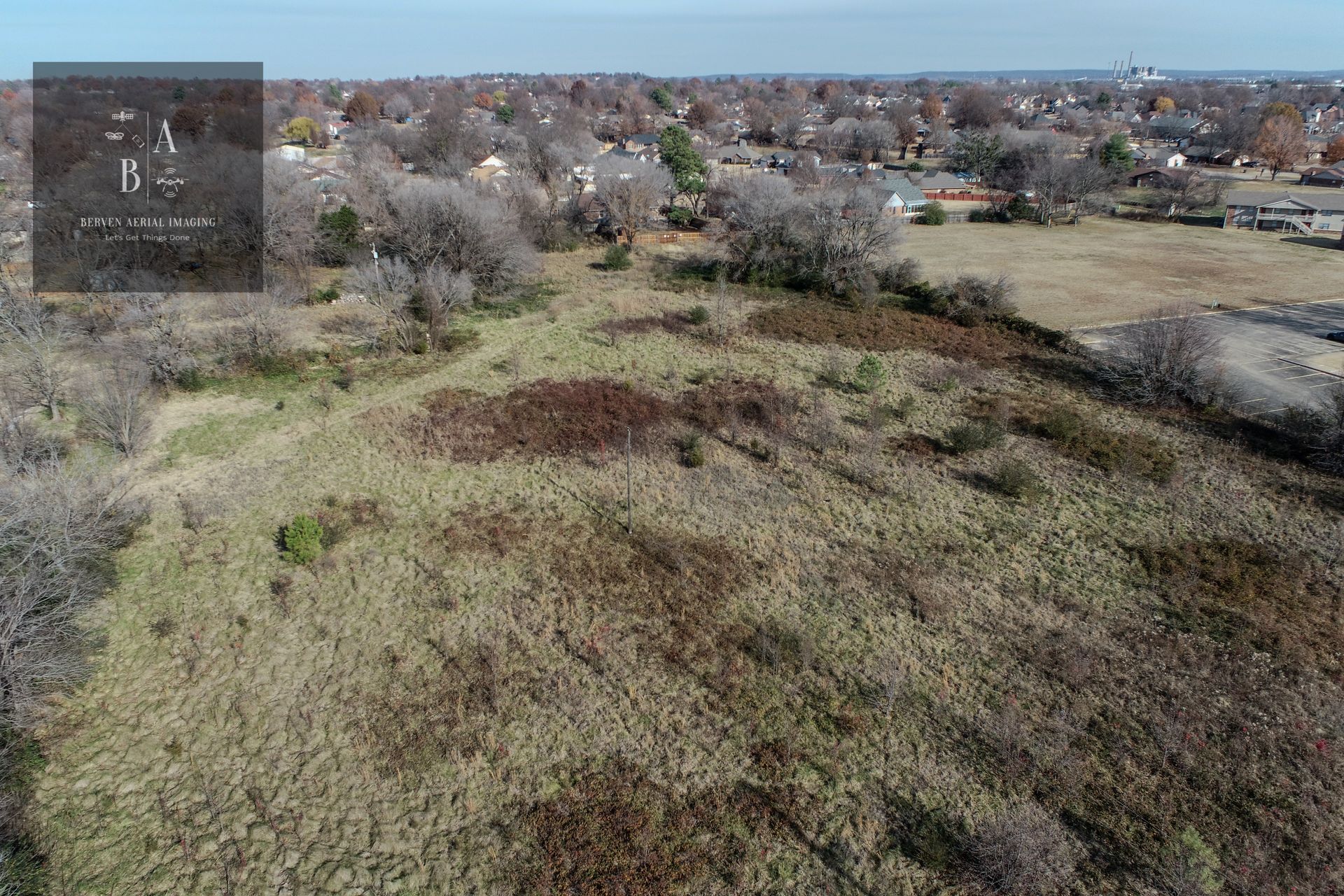
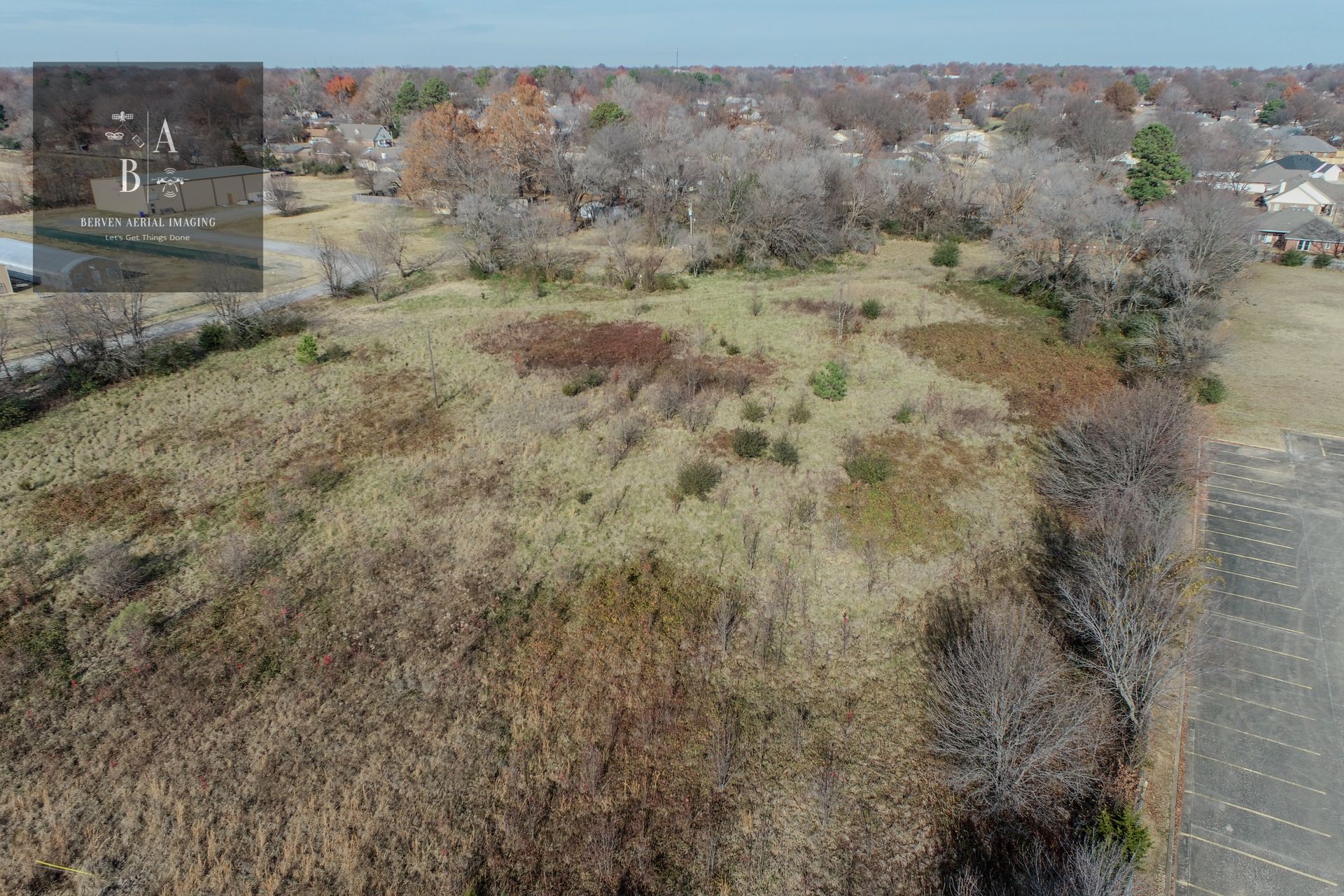
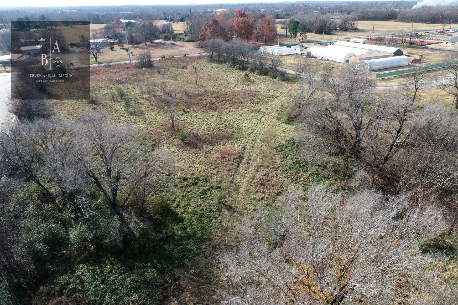
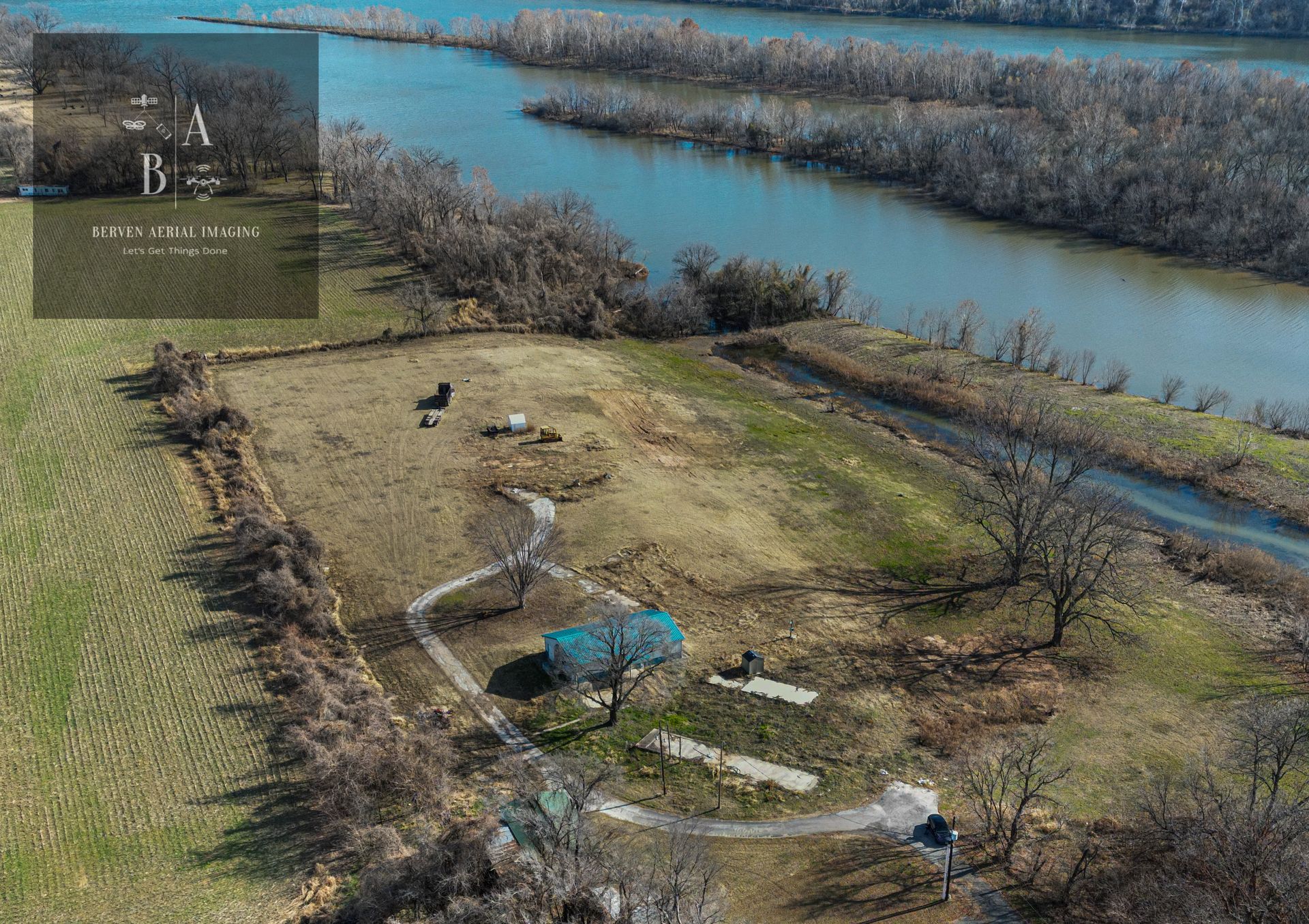
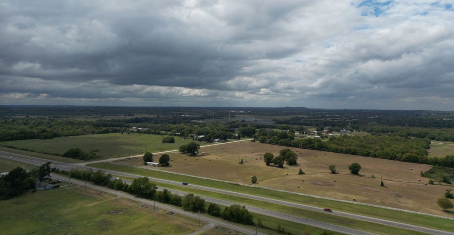
We capture the beauty and essence of your project from a bird's-eye view. Our aerial photography services are perfect for real estate listings, marketing campaigns, and landscape photography. Use desktop version for video's or click here.
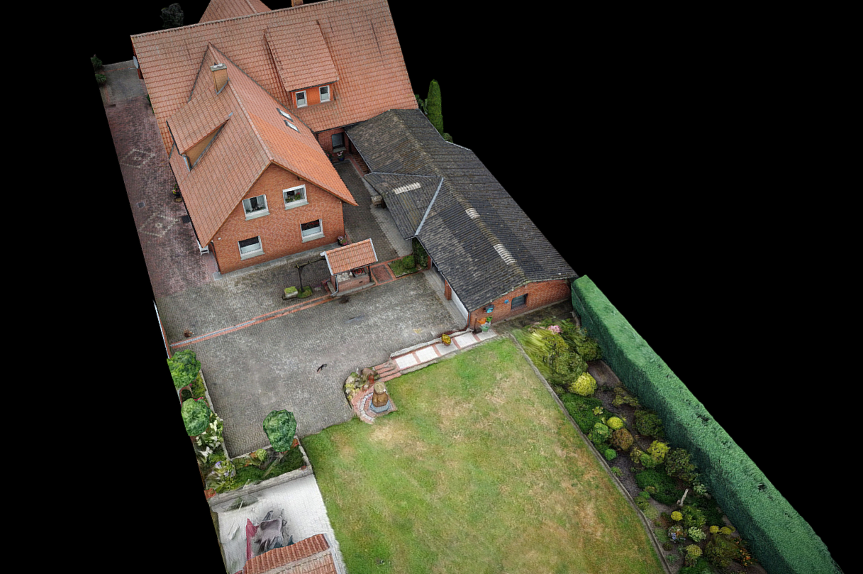
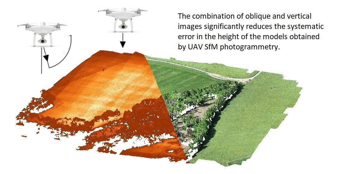
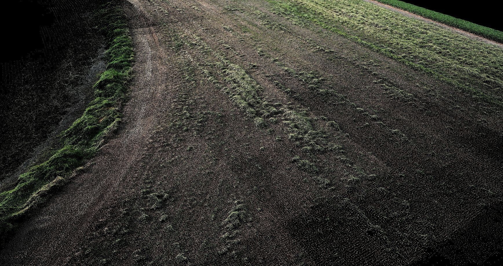
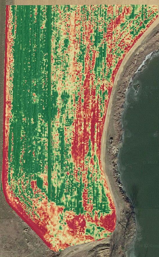
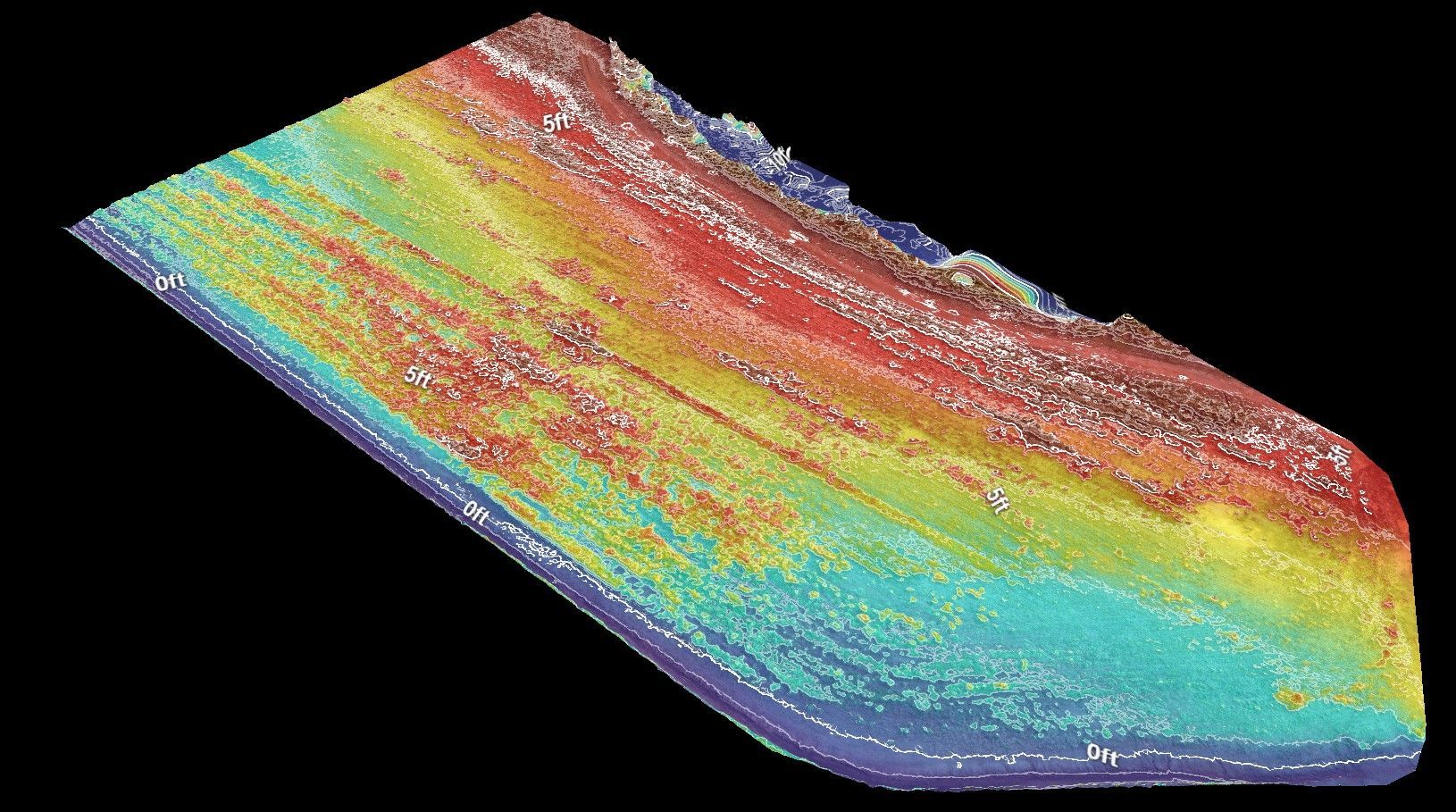
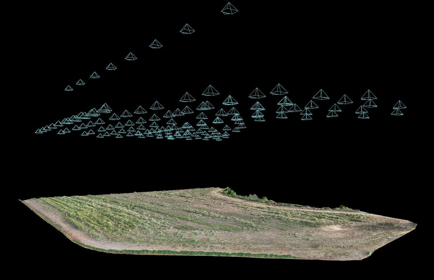
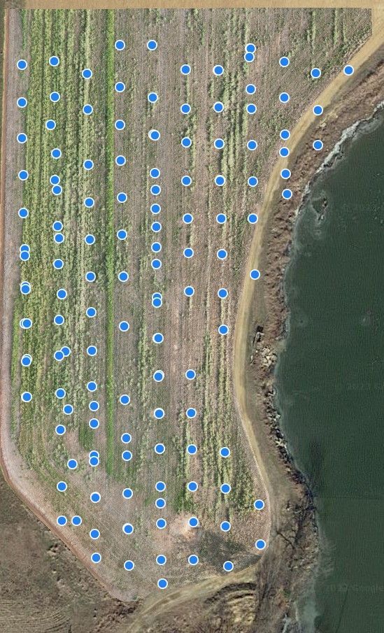
Photogrammetry is a technique that uses photography to measure and create 3D models of objects, scenes, or landscapes. It has a wide range of applications across various industries. Here are some different examples of how photogrammetry is used. Point Cloud, Plant health, 2D image of elevation, 3D image of elevation and where are the images were taken in 3D.
Click images to see full size.
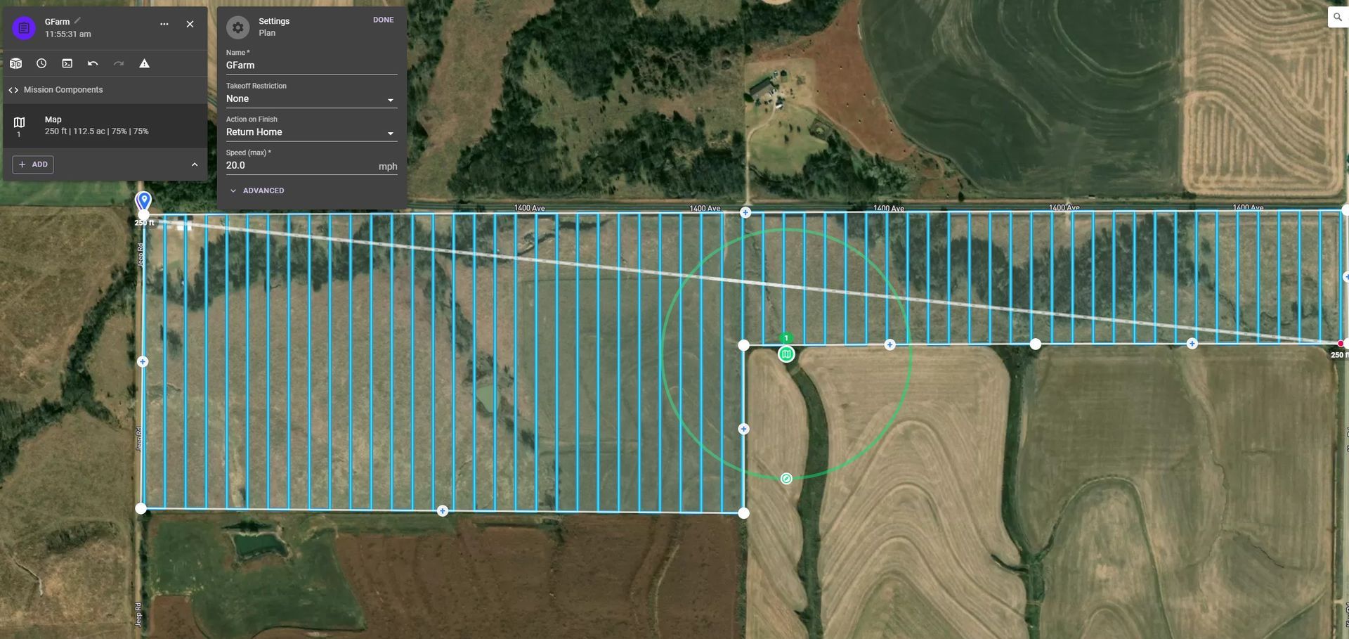
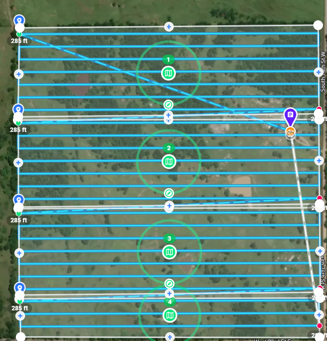
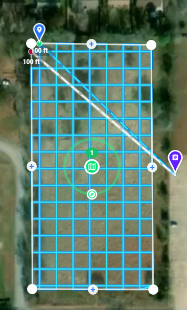
Planning for mapping mission's and plotting flight paths.
Planning a drone mission involves careful consideration of various factors to ensure a successful and safe operation. Here's a comprehensive guide to help you create a detailed drone mission description:
1. Objective:
Clearly define the purpose of the drone mission. Whether it's aerial photography, surveillance, mapping, or any other task, understanding the goal is crucial.
2. Location:
Specify the exact location where the drone mission will take place. Include details such as coordinates, address, and any specific landmarks or features.
3. Date and Time:
Outline the date and time window for the drone mission. Consider weather conditions, sunlight, and any relevant time constraints.
4. Regulatory Compliance:
Ensure compliance with local drone regulations. Check for any restrictions, permits, or approvals required for the specified location and mission type.
5. Weather Conditions:
Assess weather forecasts for the mission date and time. Avoid flying in adverse conditions such as strong winds, rain, or low visibility.
